Useful links
Course search
Contact
Western Australian Geodesy Group
Curtin University
Bentley Campus (map)
GPO Box U1987
Perth 6845
Western Australia
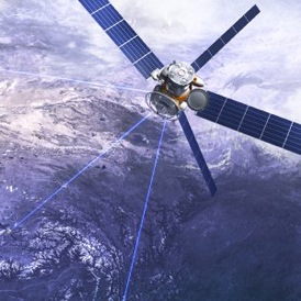
Geodesy is among the oldest of natural sciences, and involves the study of the Earth’s shape and gravity field. It forms the scientific basis for precise positioning over large areas, navigation, mapping and charting, and studies of the physics and dynamics of the Earth.
The Western Australian Geodesy Group is an active research team of national and international repute that forms part of the Department of Spatial Sciences at Curtin University. It is also a component of the University’s Institute for Geoscience Research.
The Group conducts a diverse range of both pure and applied geodetic research of national and international significance. Our research programs use state-of-the-art geodetic instrumentation and computer software, and generally involve close collaborative links with other universities, industry and government, both in Australia and overseas.
Western Australian Geodesy Group
Curtin University
Bentley Campus (map)
GPO Box U1987
Perth 6845
Western Australia